CITY OF CINCINNATI
ENVIRONMENTAL DESIGN, BRANDING, STORYTELLING, AND WAY-FINDING
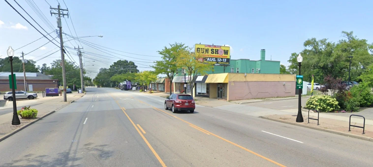
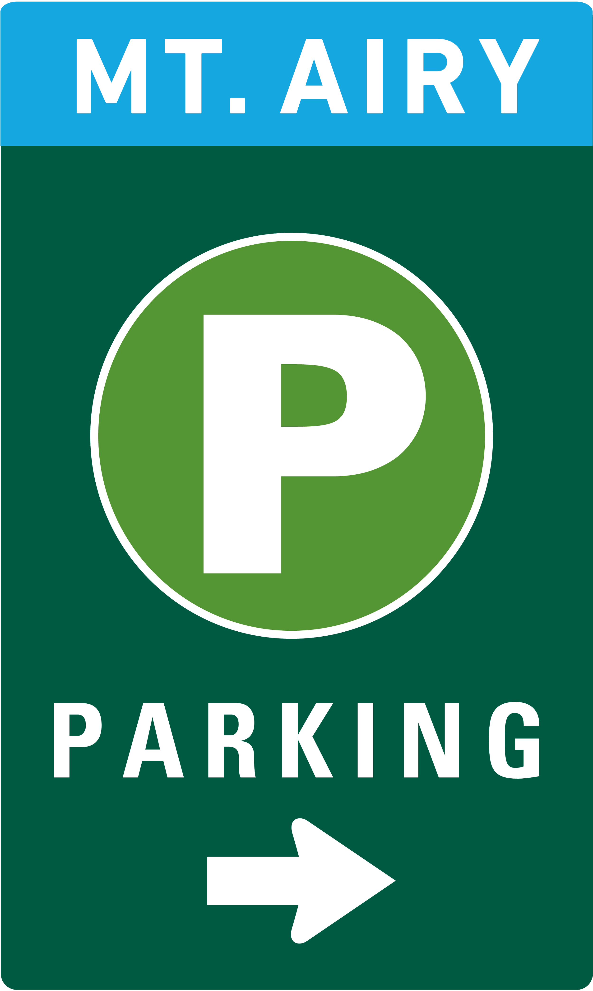
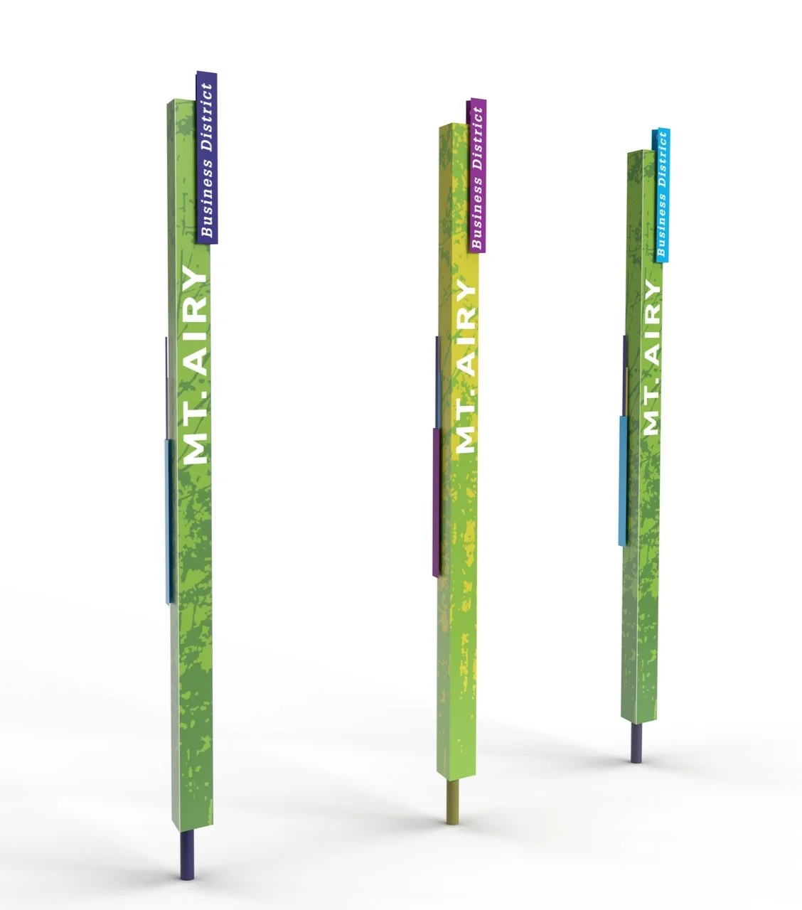
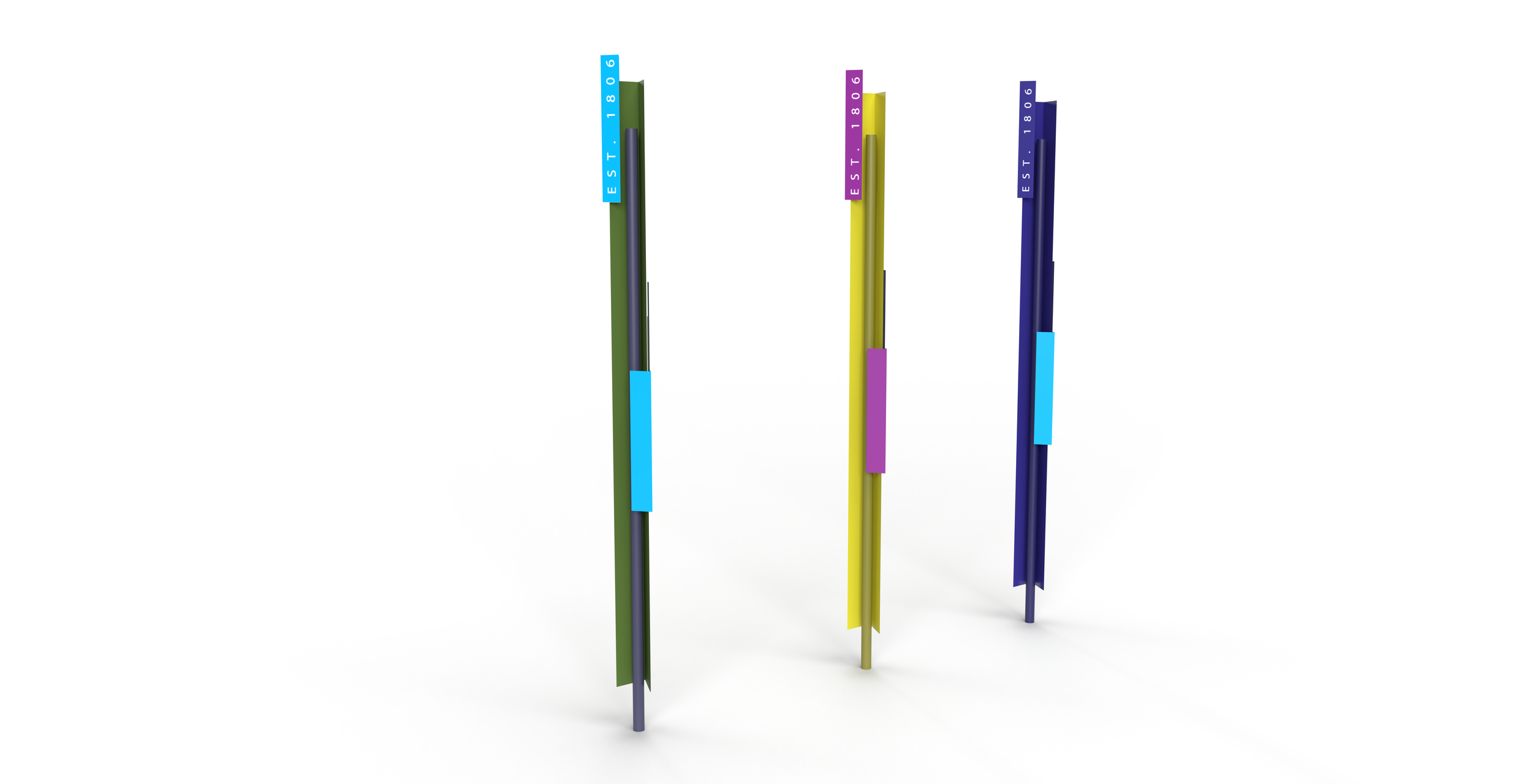
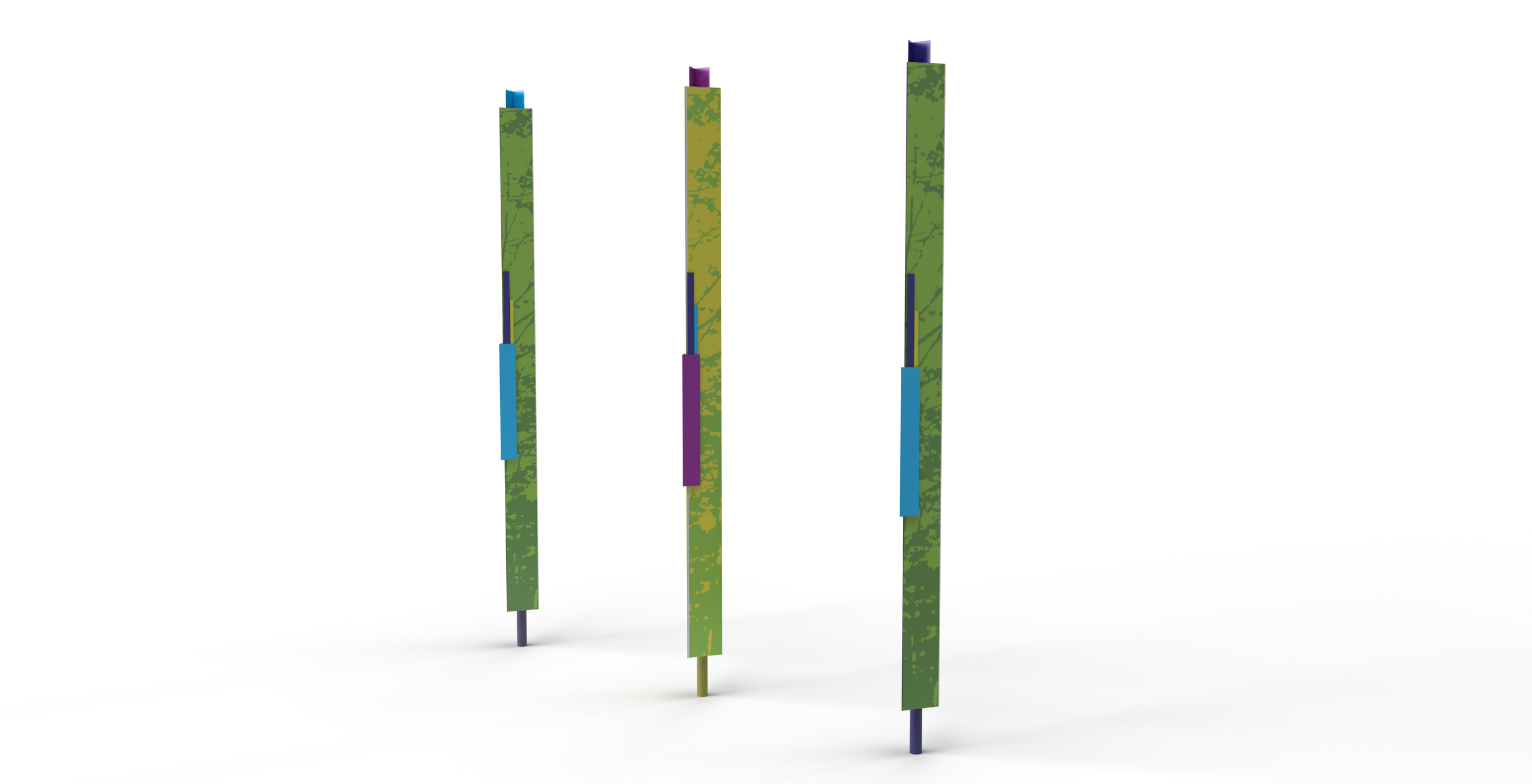
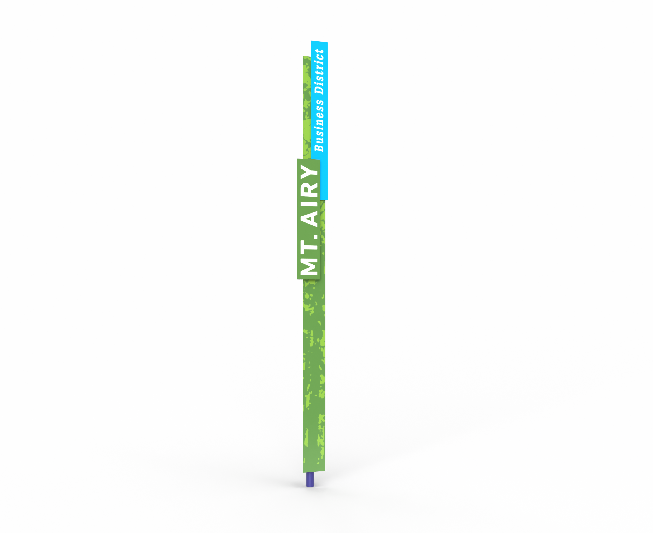
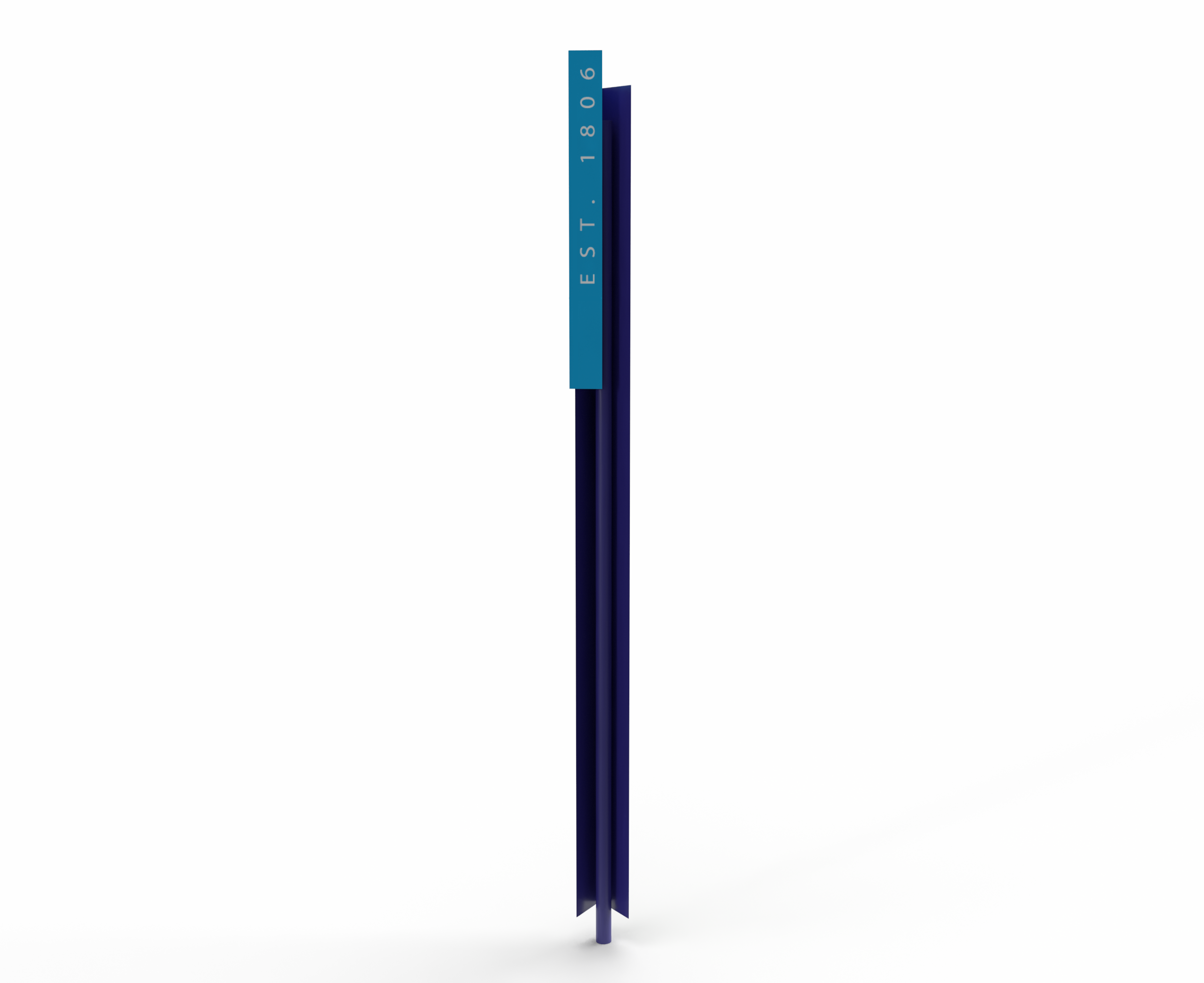
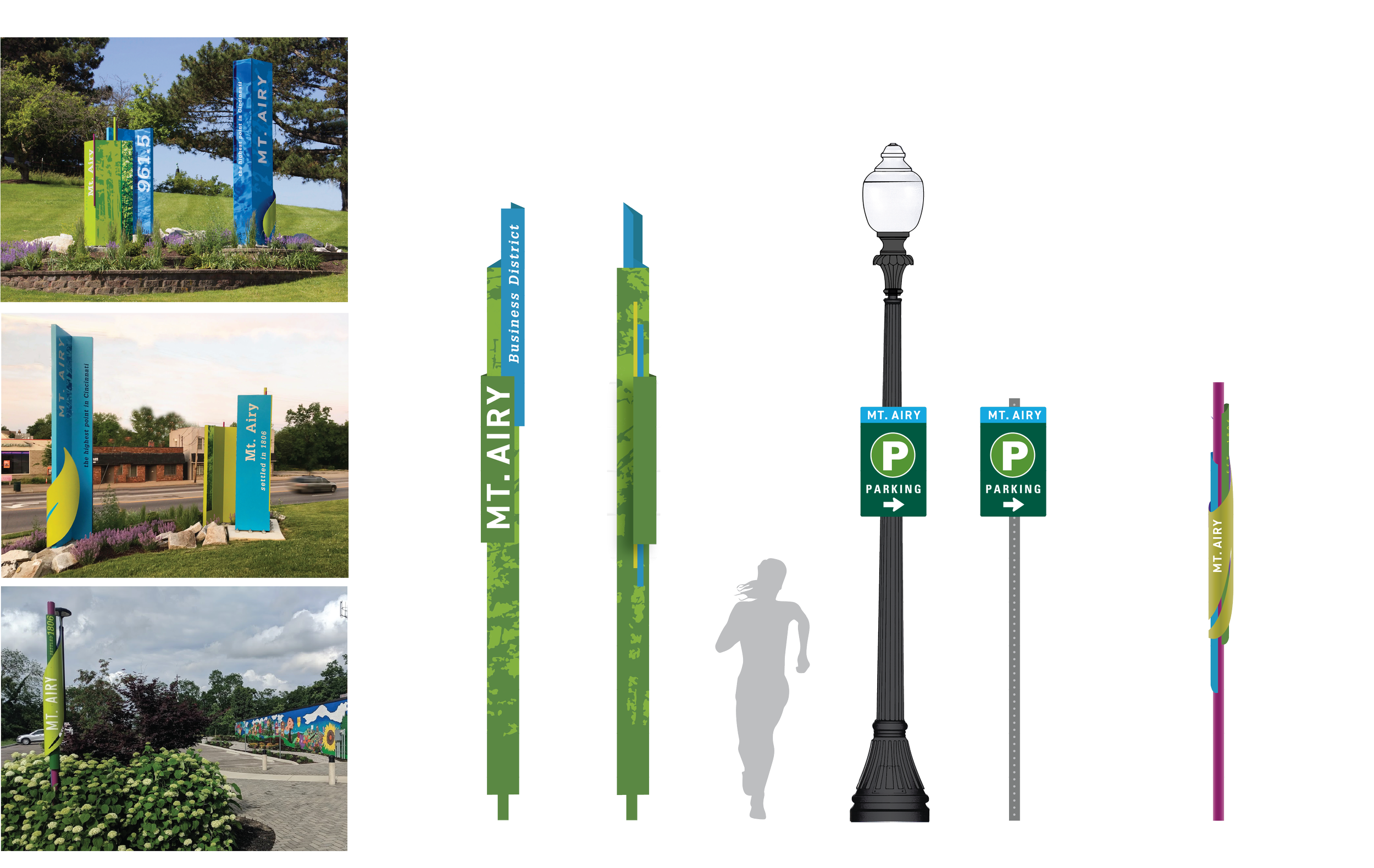
For two co-op semesters, I worked for the City of Cincinnati in the Department of Transportation and Engineering. Where I served as their graphic design intern. In my time at city hall, I got the opportunity to work on various projects. The project that I am highlighting involved creating complementary neighborhood business district signage that paired well with the existing brand we had created for them. This project also included a parking way-finding system to direct customers to their free parking lot. In this process, it involved testing with scale, legibility, and the user experience.
In terms of the other opportunities I obtained at city hall involved making signage to aid with our neighborhood way finding-systems, gateway designs that welcome you to one of the 52 neighborhoods here in the Cincinnati area, internal city branding design opportunities, and other navigational designing involving the construction of maps.
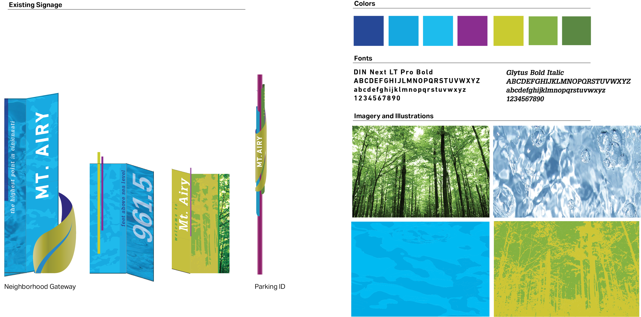
PROCESS: EXISTING ASSETS
As before we began the design process for the neighborhood business district signage we had developed their existing brand assets for their neighborhood. In the creation of the NBD (neighborhood business district) signage, we referenced these assets to create a cohesive set of signage.
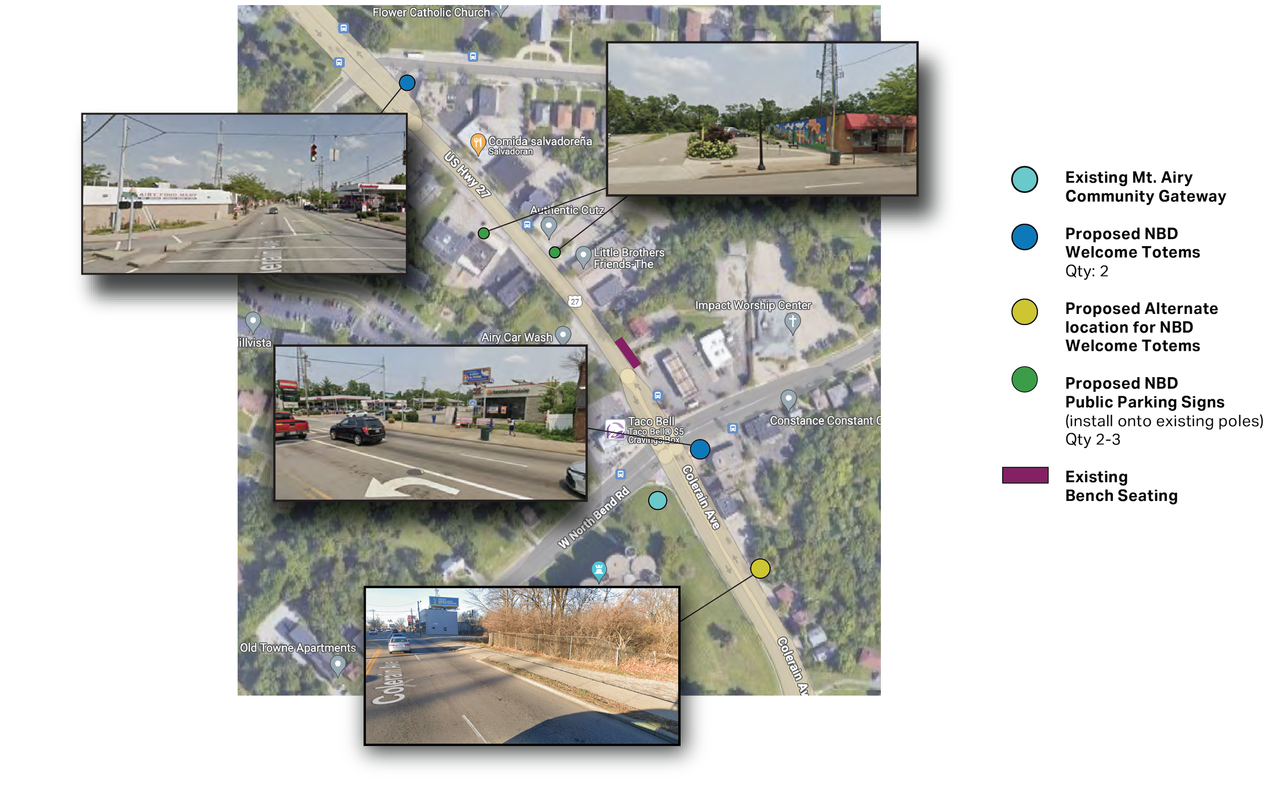
PROCESS: LOCATION PLAN
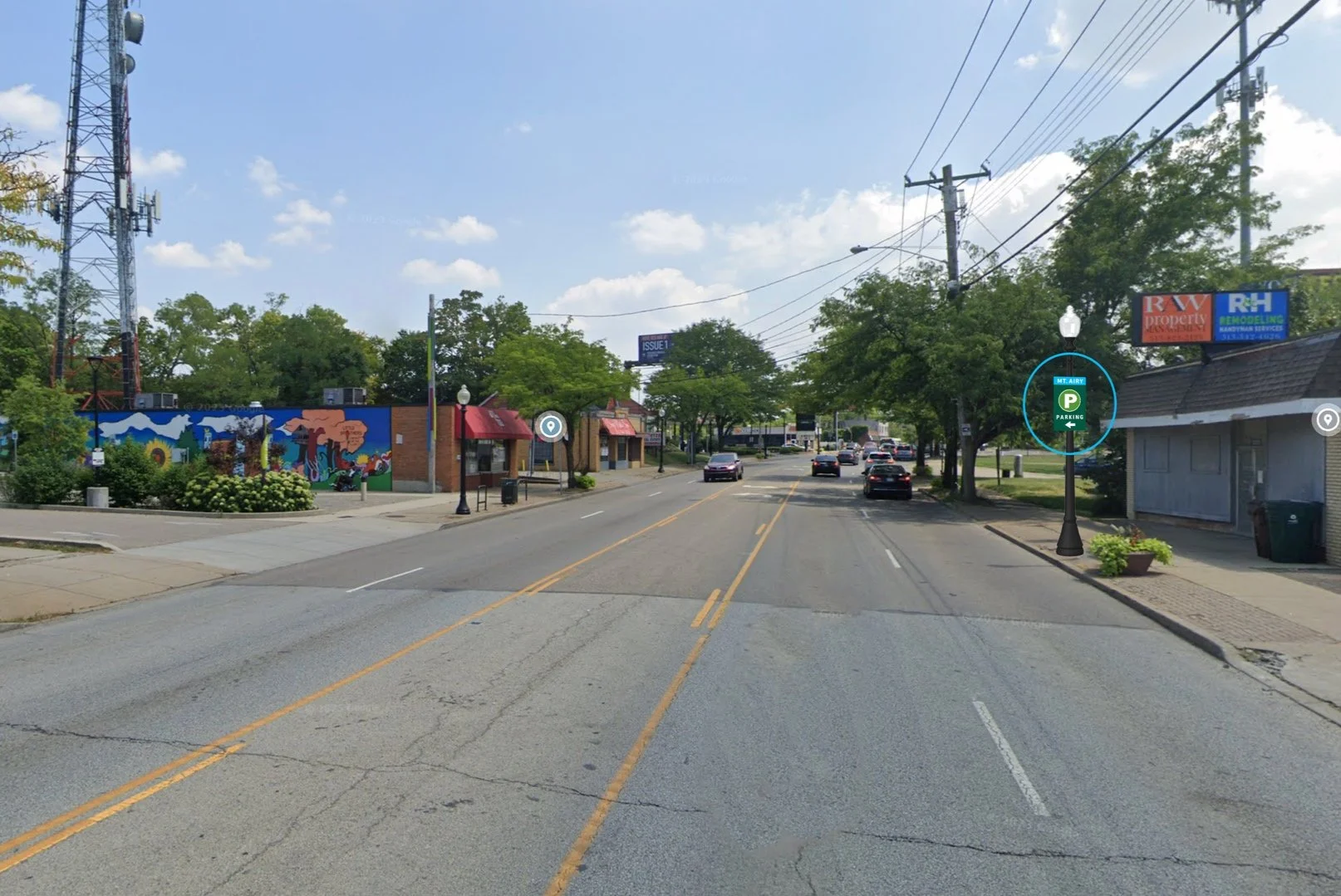
In the process, we discussed the placement of the suggested signage. This included where we were going to put the NBD signage and parking signs on the journey of their business district. This process also helped us figure out the quantity we needed for each sign as well as the total cost of the project. In this location plan, we also suggested alternate locations due to the community planning on doing some urban redevelopment along the business district.
PROCESS: PARKING WAYFINDING
The parking signage is a city standard sign used throughout Cincinnati. To blend with Mt. Airy’s branding we used the color blue to signify that the parking lot is associated with their neighborhood.


